
The Future of GIS Use in Solar Development
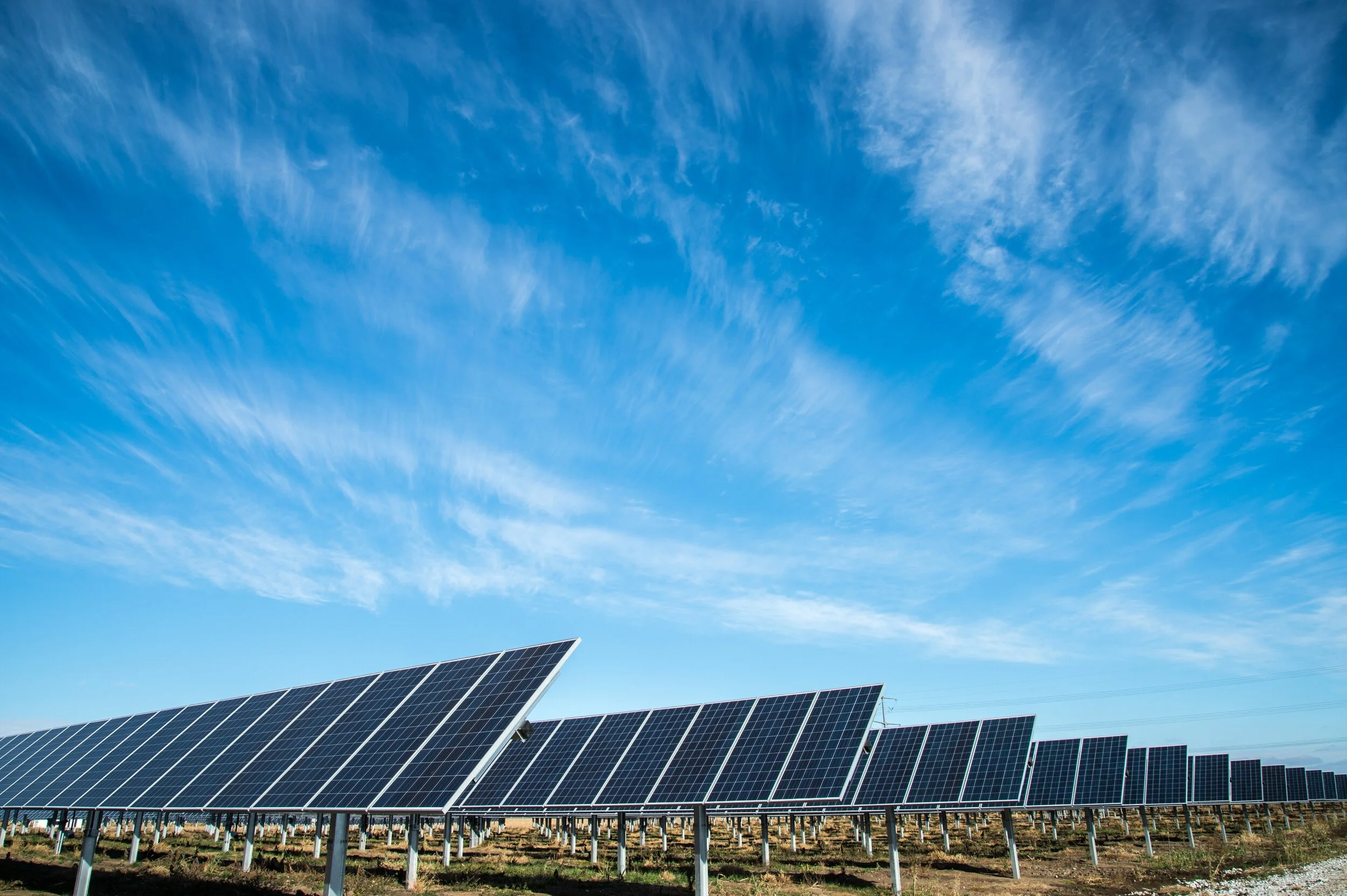
/Utility-scale solar projects are being used more and more frequently as the world pushes toward sustainable energy sources. These solar projects can be as large as utility-scale solar farms that span thousands of acres or as tiny as rooftop installations. Each utility-scale solar project, regardless of size, needs to be carefully planned and designed to maximize energy output and guarantee the lowest environmental impact. Geospatial Information Systems (GIS) technology offers an effective, digital approach to solar energy development projects.
Using GIS for Solar Development Projects
Environmental engineers can map and analyze multiple data sets using GIS technology to produce detailed and precise visual representations of the solar project site. Topography, vegetation, water resources, and infrastructure may all be depicted on these maps. This data can be overlaid by GIS to help determine the best locations for access roads, solar panel placement, and other infrastructure.
The GIS image below shows a database platform KERAMIDA has created for a utility-scale solar developer. This database is utilized by environmental specialists to record BMP deficiencies, potential pollutant storage locations, civil construction progress, vegetation progress, and other critical data.

Benefits of GIS for Utility-Scale Solar
The capacity of GIS to precisely assess the potential solar energy production of a specific site is one of the main advantages of GIS in the development of utility-scale solar. This is accomplished by evaluating the site's solar irradiance (the quantity of solar radiation that strikes the earth's surface) considering its geographic setting and previous weather patterns. GIS can provide a precise estimate of the amount of energy that can be produced for each panel installation by considering the position of the sun as well as the orientation and tilt of the solar panels.
The GIS image below shows a report graphic where KERAMIDA assesses the potential solar energy production of a potential location for a utility-scale solar development project.

Assessing Environmental Impact
GIS can also be used to assess the solar project's environmental impact. It may be used to identify locations that may be of historical or cultural interest as well as sensitive vegetation that should be avoided or minimized during construction. Furthermore, best management practice (BMP) damage, failure, and/or erosion risk regions can be found using GIS, along with ways to reduce these risks.
The GIS image below shows a dashboard where information that KERAMIDA environmental specialists have collected in the field is presented to the client in an easy-to-read web platform.

The GIS image below shows a dashboard of a soil analysis project that KERAMIDA performed on a 1,000+ acres solar development project. Each point represents a soil sample tested for various parameters to help the client determine the best seed mixes and approaches for more efficient vegetative growth.

Solar Development Site Selection
GIS can assist in determining routes for transmission and MV lines that are the most cost-effective with the least environmental impact. Also, by assisting in the identification of regions with the highest energy consumption, solar developers can use GIS to select a location for the solar project based on the area where it will have the biggest impact on lowering greenhouse gas emissions.
GIS can help utility-scale solar projects be built faster and more economically while also ensuring that the project is planned with the lowest possible negative environmental impact and maximum energy output in mind. GIS will be a crucial tool for environmental engineers and solar developers alike as the globe continues to shift toward renewable energy sources.
If you need help assessing how GIS can be utilized to maximize the efficiency of your project, KERAMIDA's team of experienced GIS professionals can assist. To speak with one of our experts, please contact us or call (800) 508-8034 today.
Author

Ty Giddens, CESSWI
Vice President, Mid-Atlantic Operations
KERAMIDA Inc.
Contact Ty at tgiddens@keramida.com
Related Services

Analyze, visualize, manage, and present your environmental and sustainability data with GIS. KERAMIDA excels in helping clients find unique and innovative ways to answer complex questions utilizing field-driven data. Our GIS specialists use ArcGIS for data collection in the field for anything from Environmental Inspection to Quality Assurance.
As an experienced partner to the Solar Power Industry, KERAMIDA provides pre-planning and construction services for major solar power development projects. Our experienced environmental inspectors are available for on-site environmental inspections of solar development sites throughout the U.S. We are a WBENC-Certified Woman-Owned Company.